Geographical Resilience Assessment of complex Socio-techno-environmental Systems (GRASS)
Project Gist
Let’s explore complex socio-techno-environmental systems across the boundaries!
Keywords
socio-techno-environmental data, design for social systems, open data, data sharing, global systems science
Background, Purpose, and Project Achievements
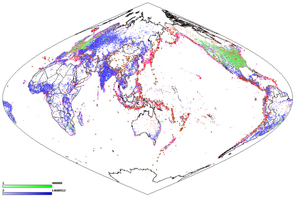
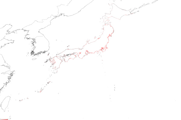
We can accumulate a large amount of data on our society due to development of information and communications technology. Such types of data are called Big Data and have several potentials to quantify our society from a holistic point of view by analyzing the Big Data. However, there are still several challenges for acquisition, computation, analysis and interpretation of Big Data. In this project, we shared open data on socio-techno-environmental systems and formed an international research group with European researchers having different backgrounds in order to assist policymakers’ decision-making based on a framework of global systems science.
Future Prospects
We continuingly have an international collaboration to establish data-driven human-centric science based on a framework of global systems science with the research members. We will organize international workshops, international forums and collaborative works with mutual visiting. We are planning to hold an international forum in Italy (the beginning of October 2015) and an international workshop in USA.(the end of October 2015).
Figures
Principal Investigator

・SATO Akihiro
・Graduate School of Informatics
・Aki-Hiro Sato has recieved Doctor of Information Sciences from Graduate School of Informatics, Tohoku University in 2001. His research activities are of data-centric science on socioeconomic systems such as high-frequency financial time series analysis, network analysis of global aviation networks, and spatio-temporal analysis of tourism industry.
・http://ssuopt.amp.i.kyoto-u.ac.jp/akihiro/